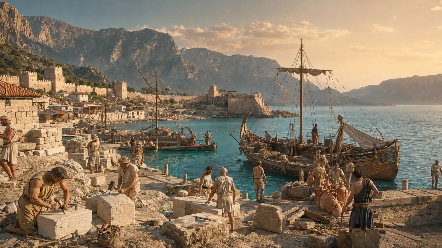
01
Maps, engravings and early photography
Nineteenth-century coastal charts and early harbour views reveal the relationship between the walled city, port and surrounding plain. Captions separate confirmed dates from estimates.
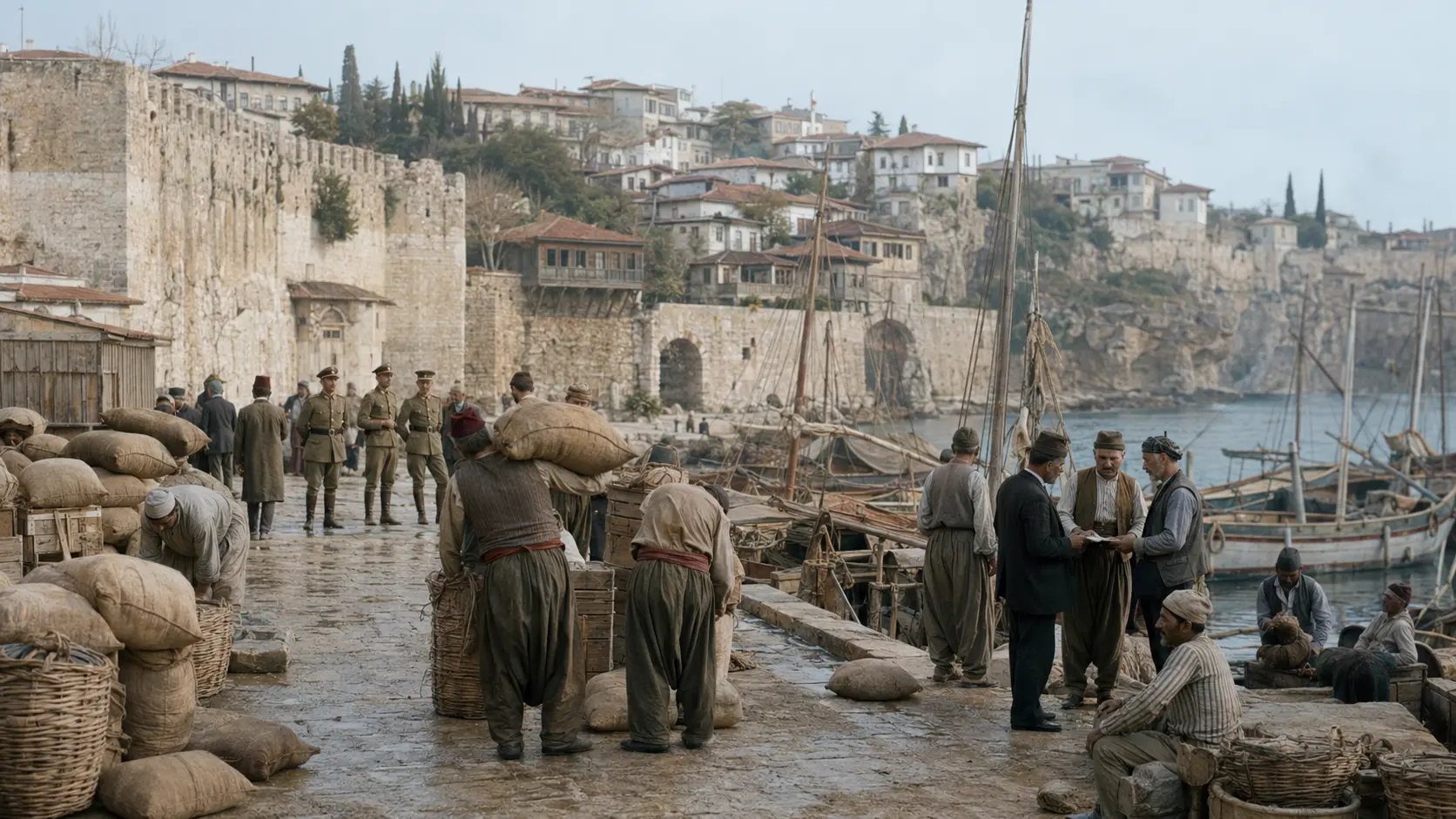 AI RECONSTRUCTION · Not a historical photograph
OLD ANTALYA PHOTO ARCHIVE
The archive follows Kaleiçi, the harbour, cliff waterfalls, Konyaaltı camps, bazaars and changing neighbourhoods through sourced visual records.
OLD ANTALYA PHOTO ARCHIVE
“Every old photograph contains both what survived and what disappeared.”
Come to Antalya
Nineteenth-century coastal charts and early harbour views reveal the relationship between the walled city, port and surrounding plain. Captions separate confirmed dates from estimates.
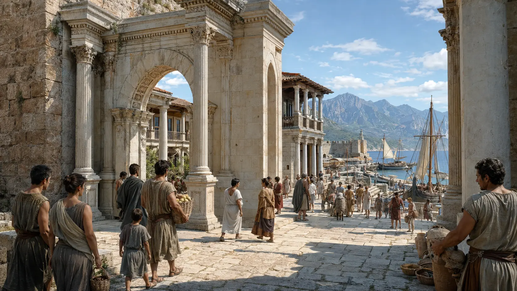
Roads, cliff waterfalls, Konyaaltı summer camps and Kaleiçi streets changed rapidly as the modern city expanded. Side-by-side views help locate the transformation.
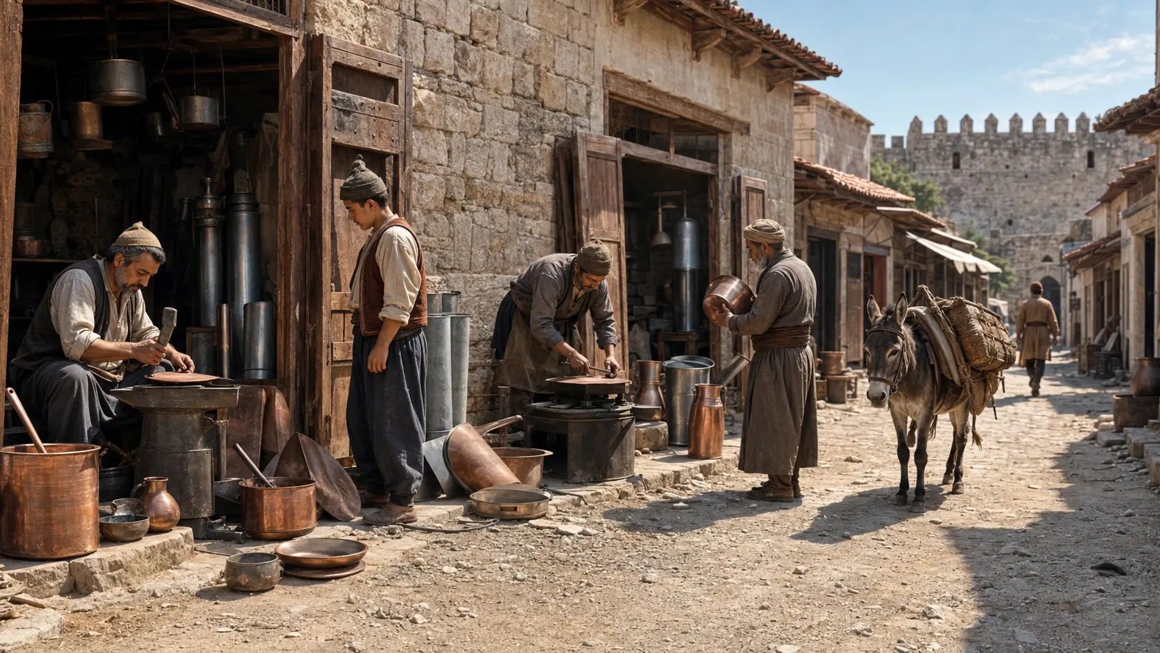
Only public-domain, openly licensed or authorised files are republished. AI reconstructions are permanently labelled as interpretations, never presented as historical photographs.
Verification and current sources
Continue exploring Antalya
 01
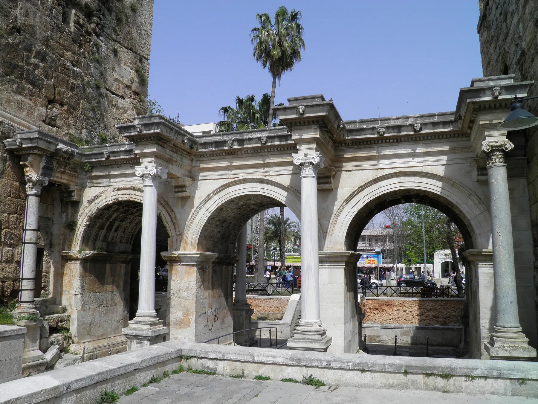
01Read Antalya’s history from prehistory, Pamphylia and Rome to Seljuks, Ottomans, Yörüks, occupation years and today.
Open guide →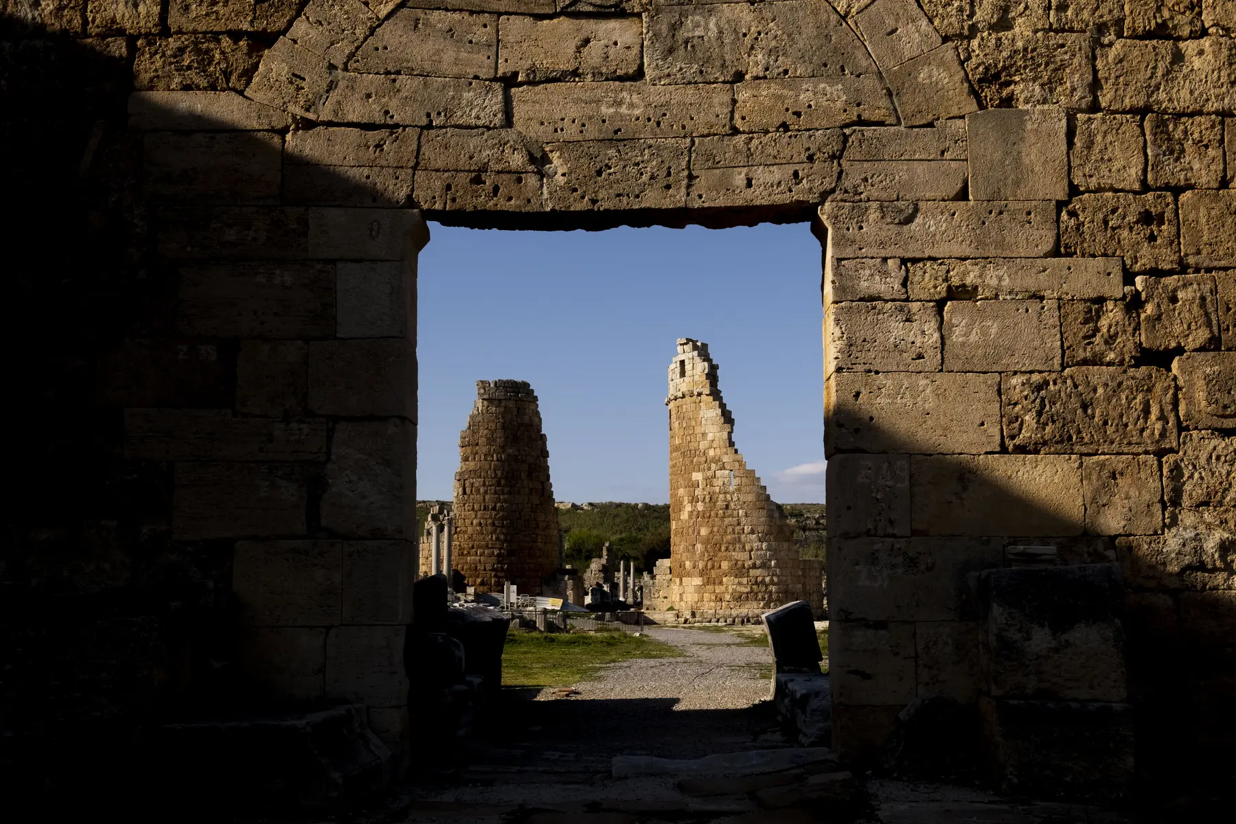 02
02Explore Antalya Museum, Side Museum, Alanya Museum, Suna & İnan Kıraç Kaleiçi Museum and regional collections.
Open guide →03Submit an Antalya photograph with date, location, story and usage permission for editorial review before publication.
Open guide →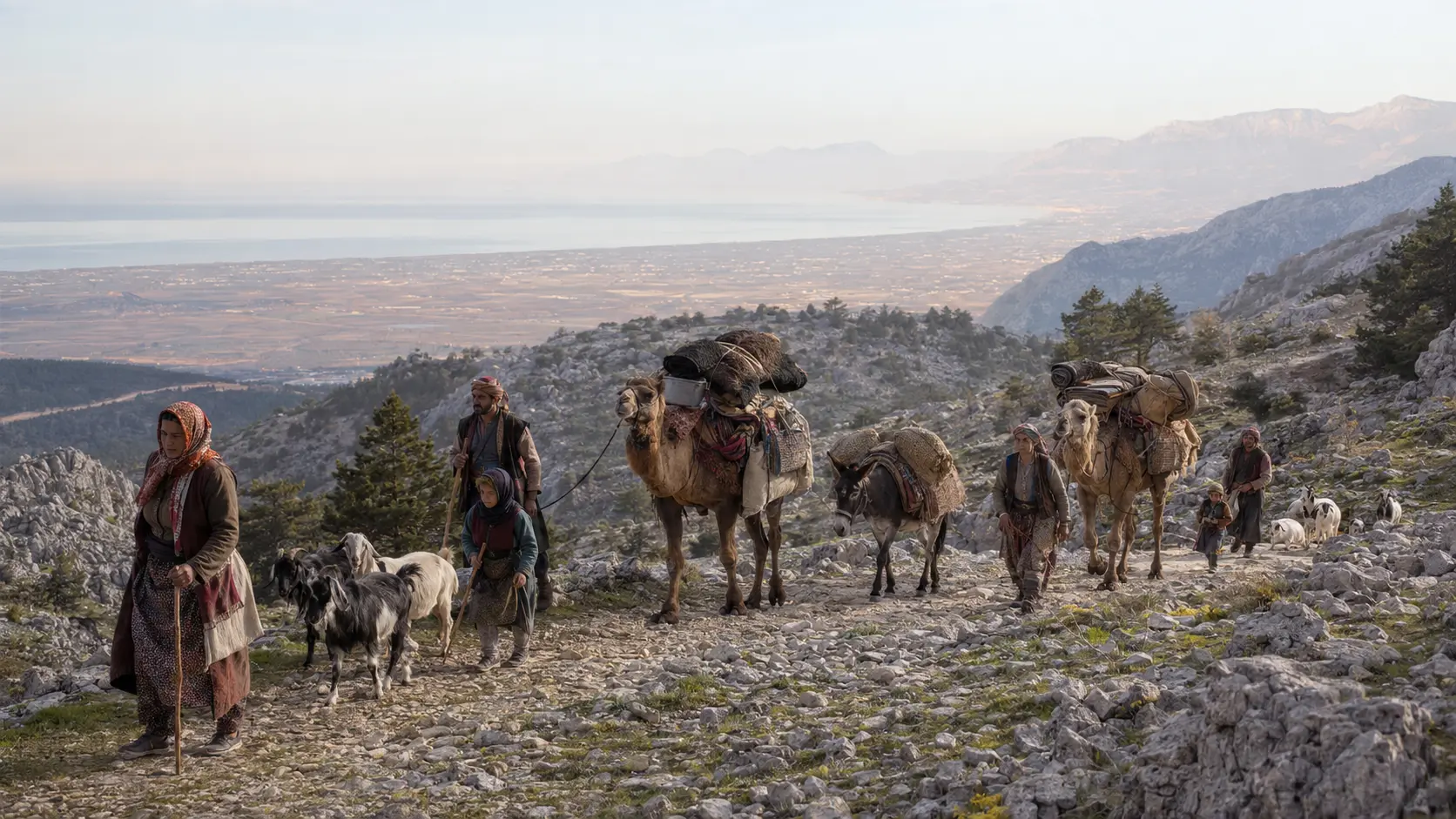 04
04Learn how Come to Antalya researches, verifies, labels sources, handles AI reconstructions and finances independent travel content.
Open guide →