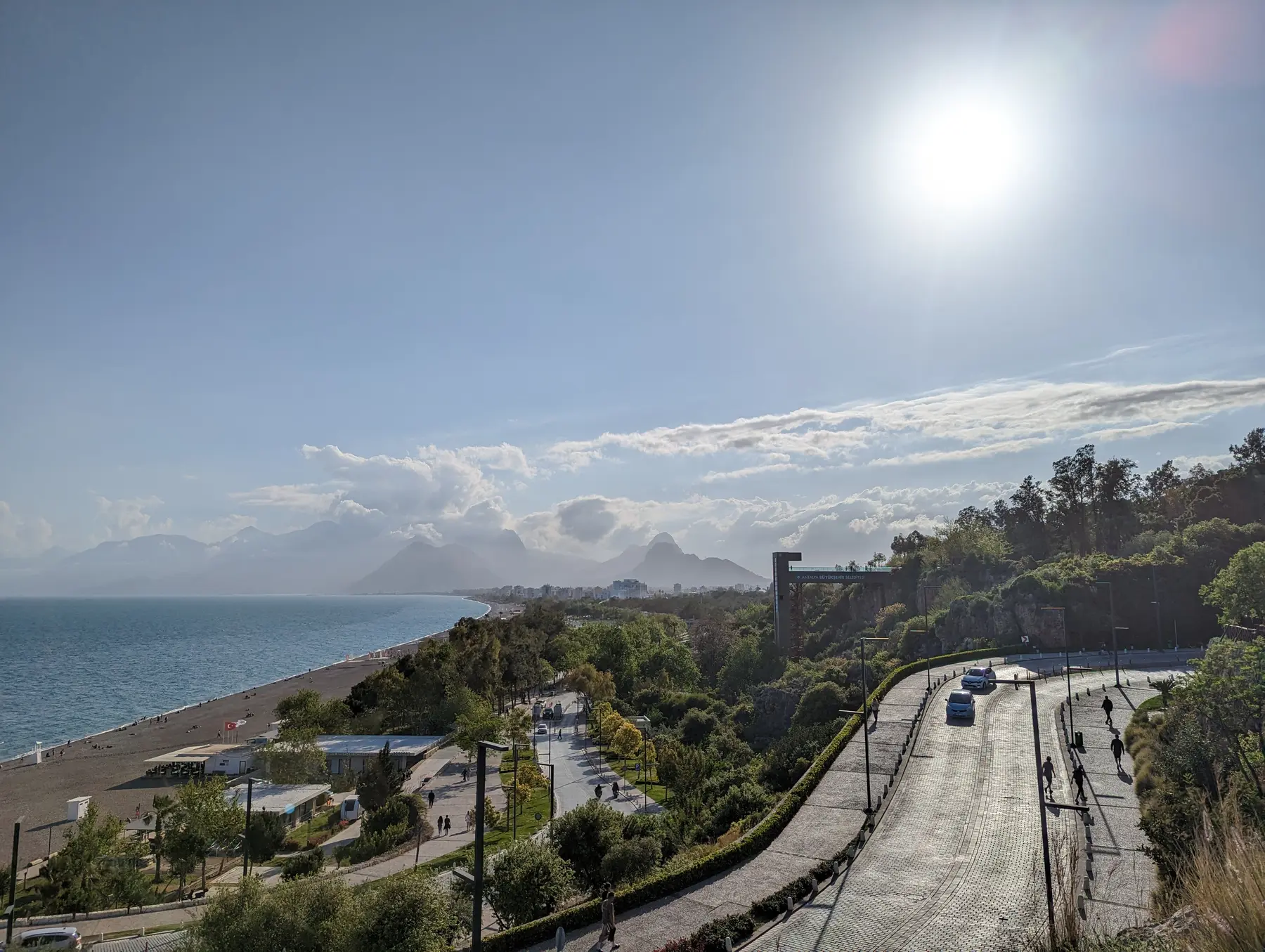
01
Airport, city centre and public transport
Antalya Airport connects to the city by tram, municipal bus, taxi and transfer services. Payment systems, lines and timetables can change; verify them through official operators before departure.

GETTING AROUND
The province is large, summer traffic is real and mountain roads change the meaning of a short-looking distance.
GETTING AROUND
“A realistic transfer plan gives a holiday back its hours.”
Come to Antalya
Antalya Airport connects to the city by tram, municipal bus, taxi and transfer services. Payment systems, lines and timetables can change; verify them through official operators before departure.
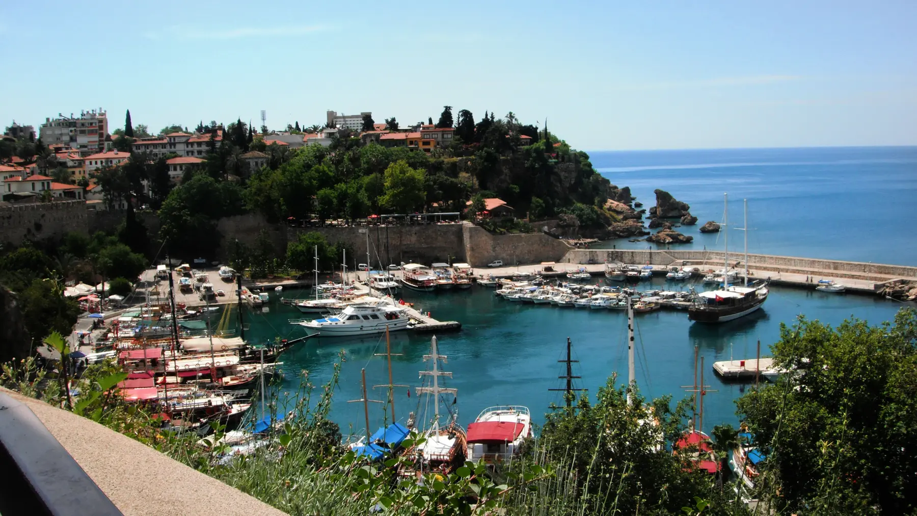
A car is useful for ancient cities, canyons and small coves, but parking in Kaleiçi and busy beach zones is limited. Inspect insurance, deposit, fuel policy, tolls and existing vehicle damage.
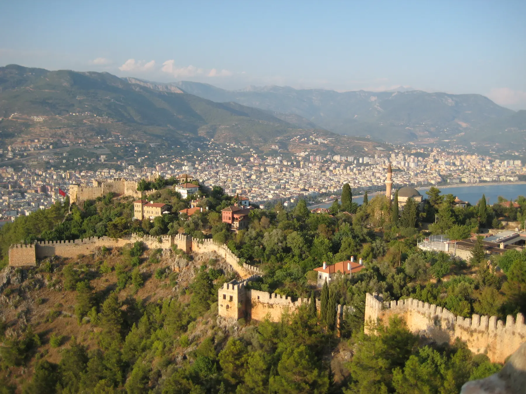
Do not combine the far west and far east on the same day. Choose a base and group nearby sights so summer traffic does not become the main experience.
Verification and current sources
Continue exploring Antalya
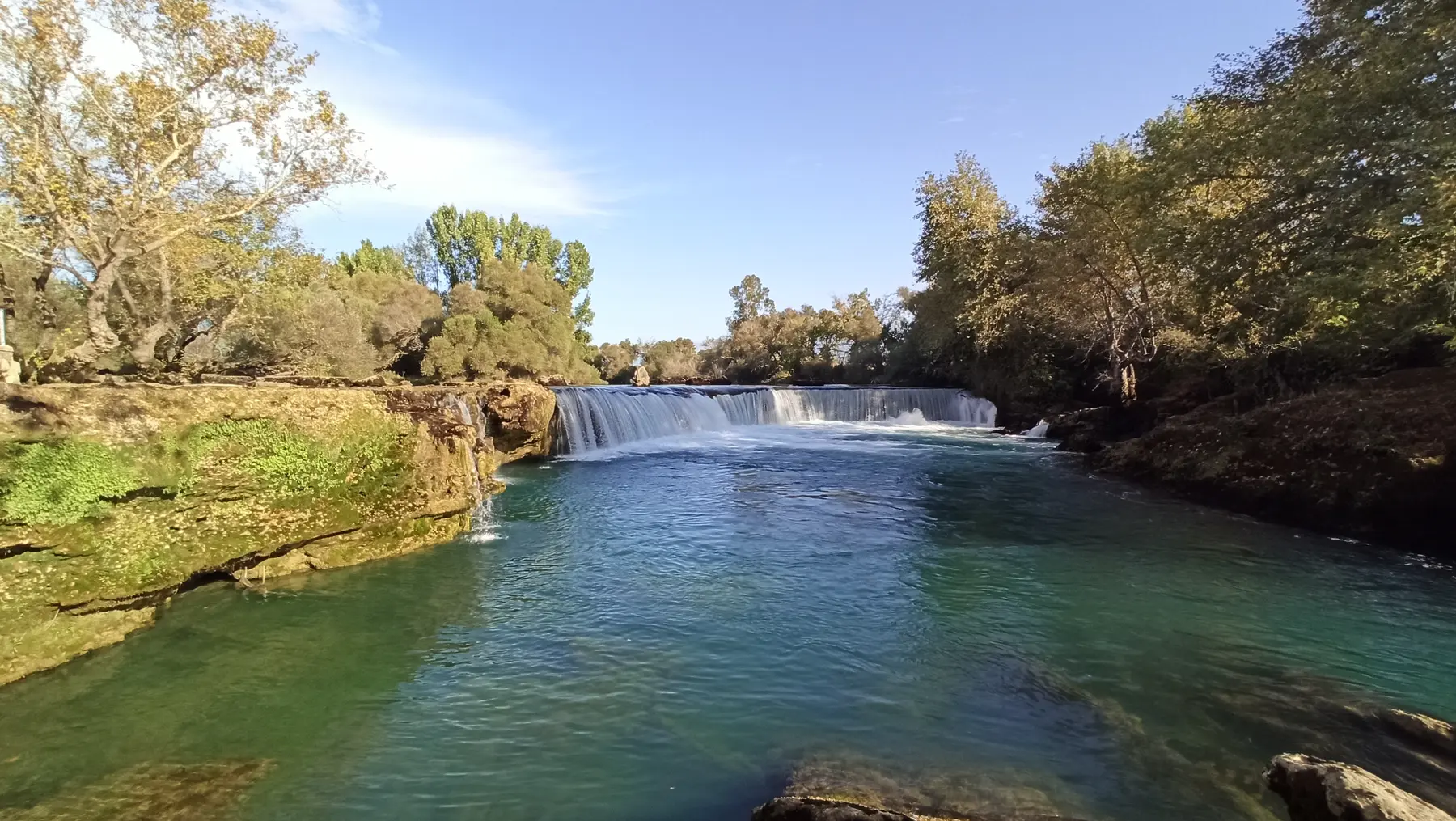 01
01Antalya practical guide to visas, currency, weather, health, safety, mobile internet, budgeting and cultural etiquette.
Open guide →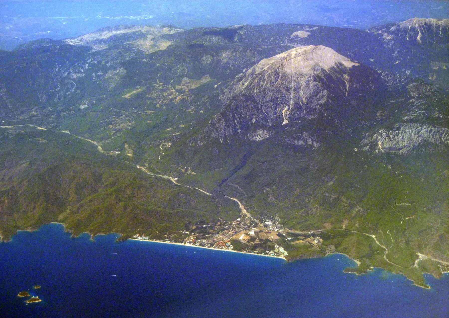 02
02Compare Kaleiçi, Lara, Konyaaltı, Kemer, Belek, Side, Alanya, Kaş and Antalya’s other regions.
Open guide → 03
03Compare Antalya boat tours, rafting, diving, cable car, paragliding and family activities with practical checks.
Open guide → 04
04Where to stay in Antalya: compare Kaleiçi, Lara, Belek, Kemer, Side, Alanya, Çıralı, Kaş and Kalkan.
Open guide →